diagram
Peri-Urban Buffer
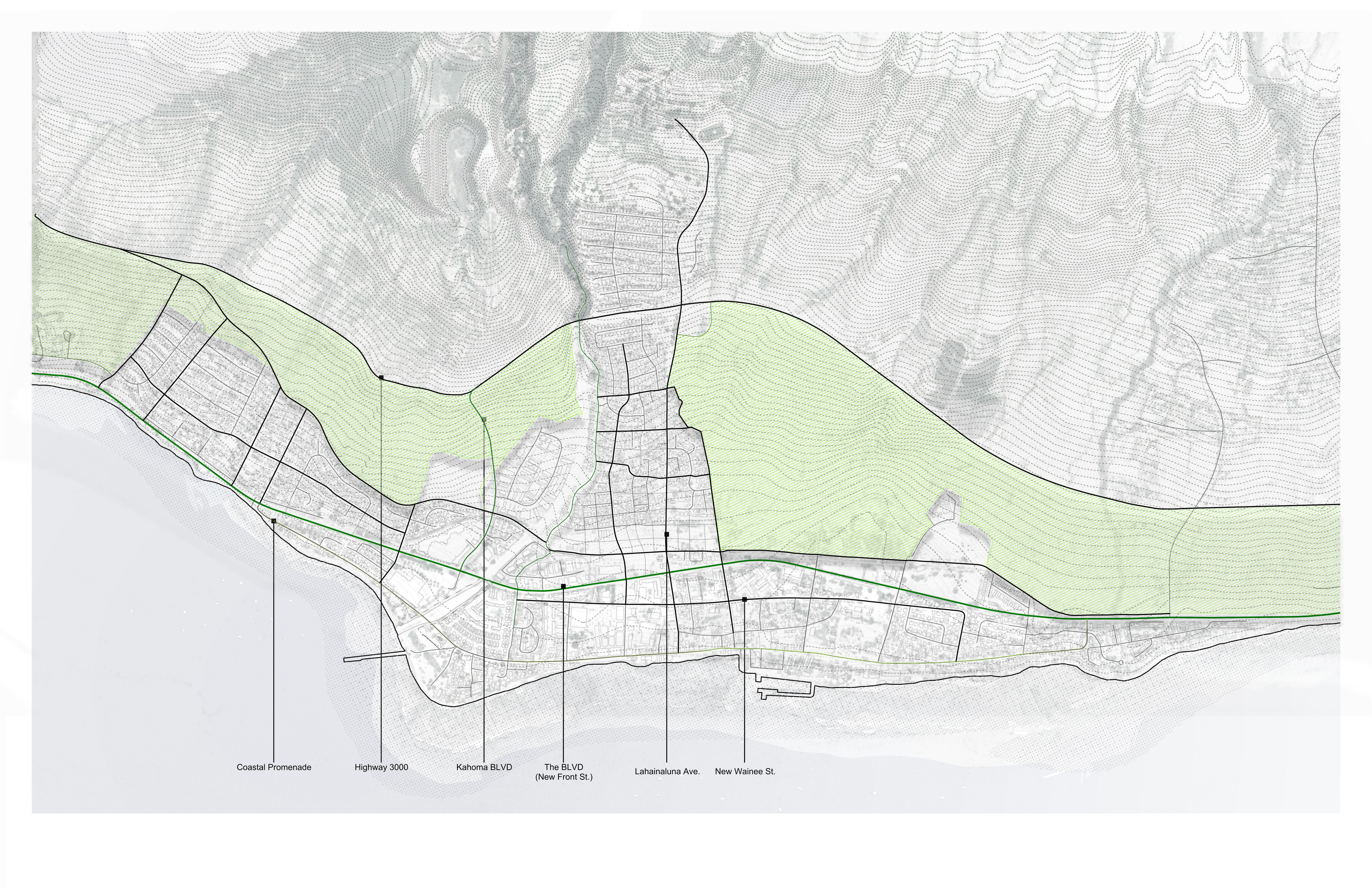
The peri-urban buffer creates an irrigated agricultural park between the boulevard and Highway 30 — a productive landscape that doubles as a firebreak.
Dimensions
The buffer occupies the 200–1,000-foot elevation band, with a minimum width of 200 feet, filling the transition zone between high-rainfall uplands and the developed town.
Why it matters
The dry grasslands in this zone provided the fuel that carried the 2023 fire into the town. Irrigated agriculture and managed vegetation interrupt fuel continuity and slow fire spread. The buffer also captures upland runoff before it reaches the developed town, feeding retention basins sized for 25-year storm events.
Key targets
- 15% of fresh produce consumed in West Maui sourced locally by 2035
- Emergency water reserves independent of municipal supply
- Low-mobility zone for walking, cycling, and agricultural vehicles — no through-traffic