plan
Water Collection Hinterland
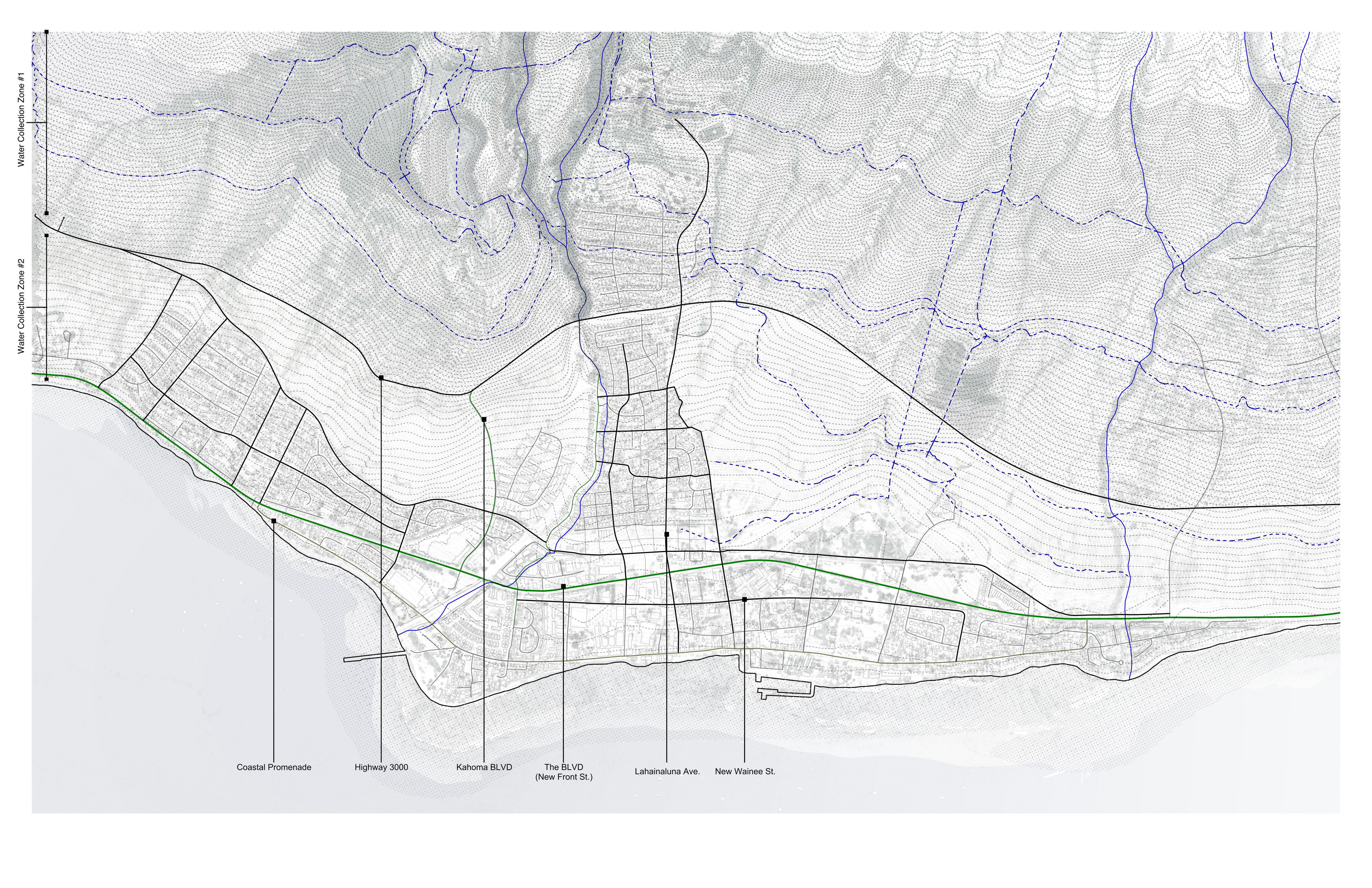
Above the highway, the historic ditch system is reinforced to capture mountain rainfall in two collection zones before it runs off unused.
Why the hinterland matters
West Maui receives over 80 inches of rainfall per year above 1,000 feet, yet virtually none reaches the town. Pioneer Mill’s approximately 50 miles of ditches and flumes once captured this water for sugarcane. Since the mill’s 1999 closure, ditches have degraded, clogged with debris, and disconnected from coherent management. During the 2023 fire, dry overgrown ditches served as corridors for invasive fire-prone grasses, conducting fire rather than suppressing it.
What the map proposes
- Zone 1 (above 1,000 ft): Intake structures restored at stream diversion points; channel clearing and masonry repair on primary ditches; new filtration at reservoir inlets.
- Zone 2 (topographic pockets): Collection ponds in natural depressions between hillside contours, sized at 0.5 acres per 10 acres drainage area.
All distribution is gravity-fed, eliminating the pump dependence that collapsed the municipal system when power was cut on August 8, 2023.