regional Scale - analytical-map
Streams & Ditch Systems
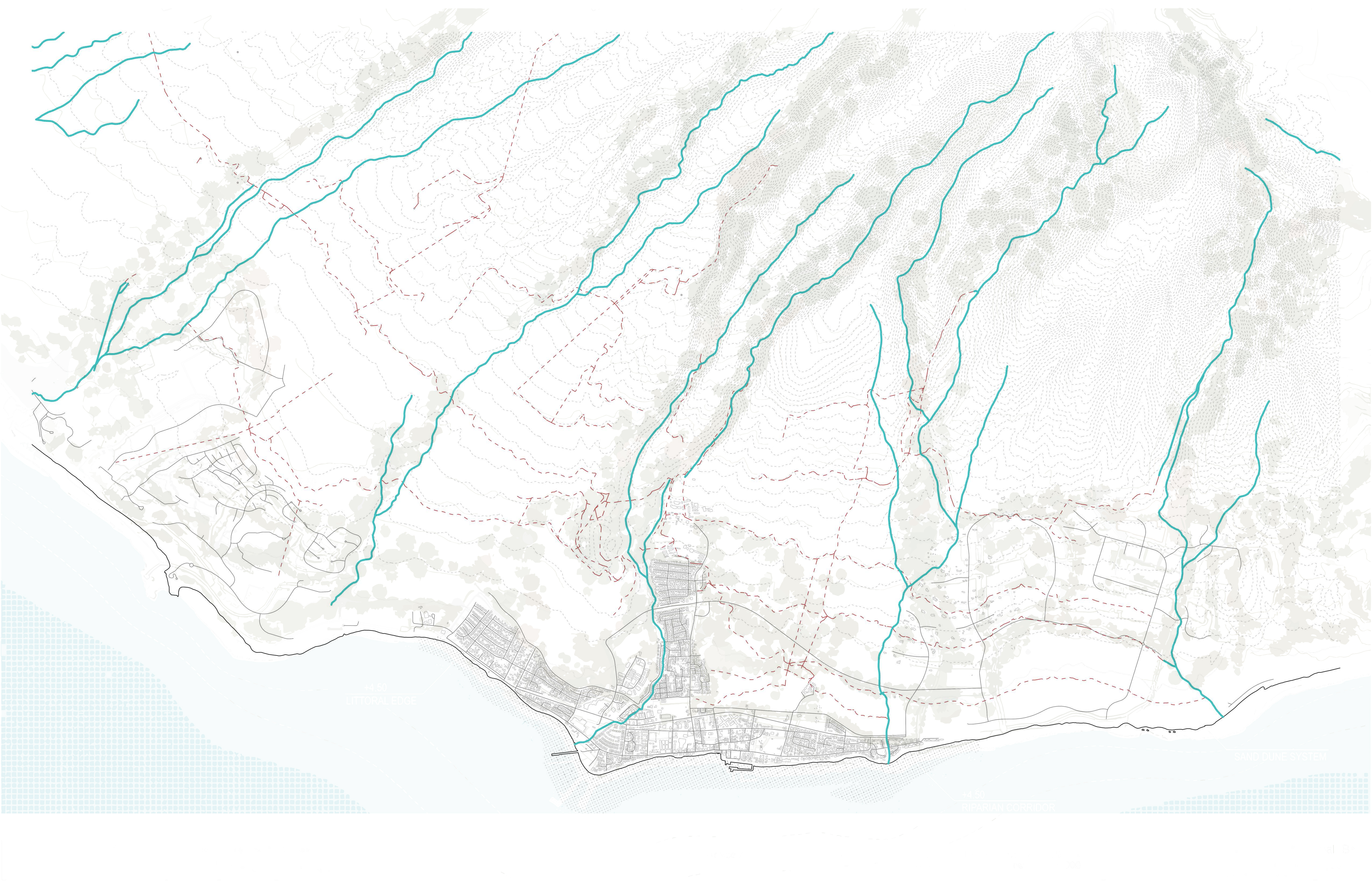
Natural drainage network overlaid with the post-contact plantation ditch system. Cross-sectional elevation profiles show how streams descend from mountain to coast, with sea level rise projections at the makai edge.