plan
Riparian Buffer
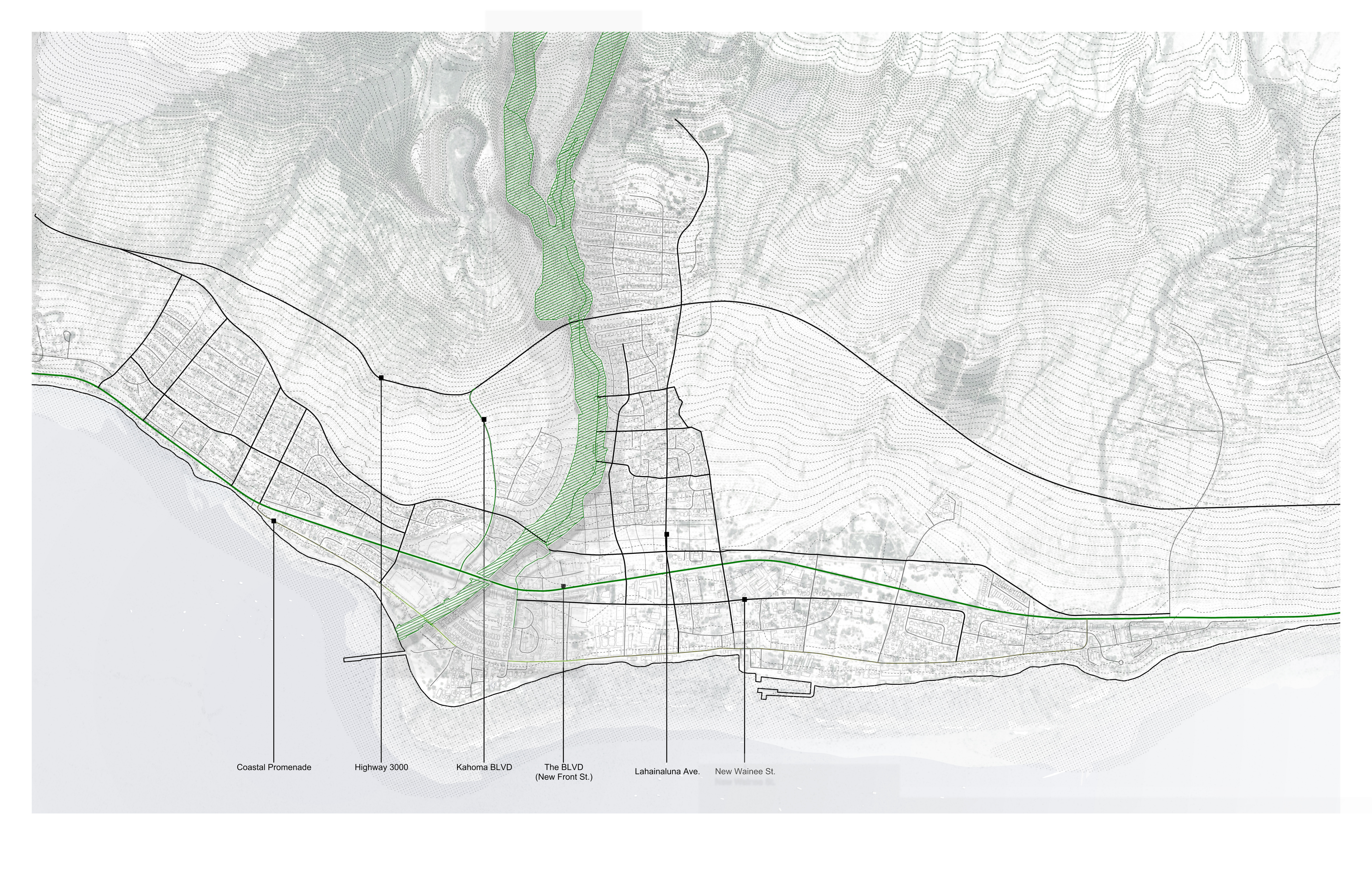
Stream corridor restoration along Kahoma Stream and its tributaries, from the upland watershed to the coastal outlet.
Dimensions
The buffer extends 50–100 feet from stream centerline, widened where flood modeling indicates broader inundation risk. Public access is concentrated at designated nodes — bridges, overlooks, gathering areas — rather than continuous along the stream edge, balancing recreational use with ecological protection.
Key moves
- Stream restoration: Remove plantation-era concrete lining where feasible; adjust channel geometry for flood flows while maintaining baseflow for ecological function.
- Re-vegetation: Fire-resistant, flood-tolerant native species provide habitat, shade, erosion control, and water filtration along both banks.
- Brackish mouth: The estuarine zone where fresh and salt water mix is preserved as transitional ecology, with elevated pathways that remain functional during high water.
- Natural firebreaks: The re-vegetated corridor interrupts fuel continuity through the urban fabric, a function absent during the 2023 fire.