photography
Pre-Fire Aerial View
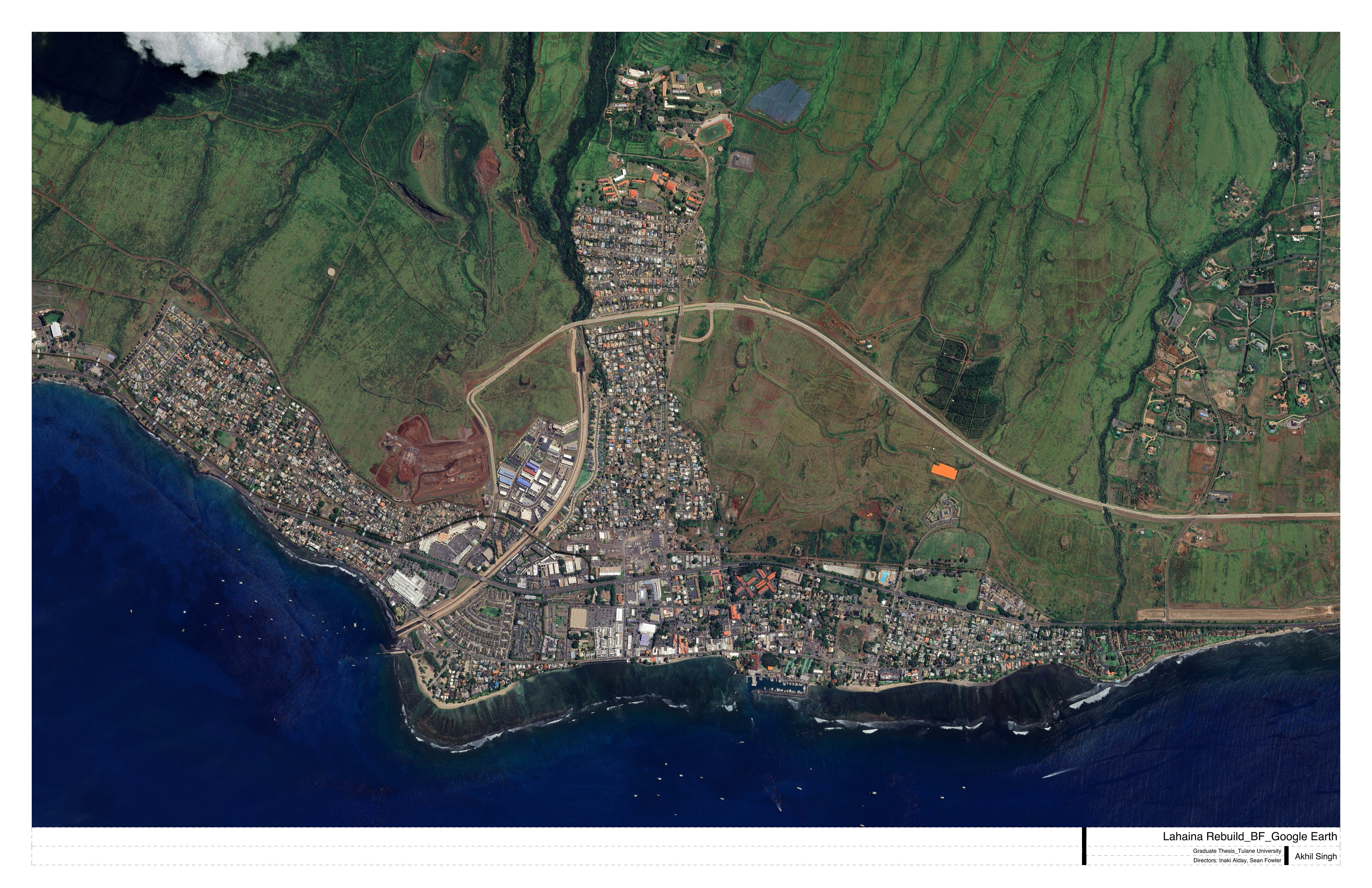
Pre-fire satellite imagery showing Lahaina’s coastal development pattern, the agricultural land above the highway, and the green corridor along stream beds.
Pre-fire satellite imagery showing Lahaina’s coastal development pattern, the agricultural land above the highway, and the green corridor along stream beds.